'A map is never neutral': meet the cartographers who took on centuries of western bias
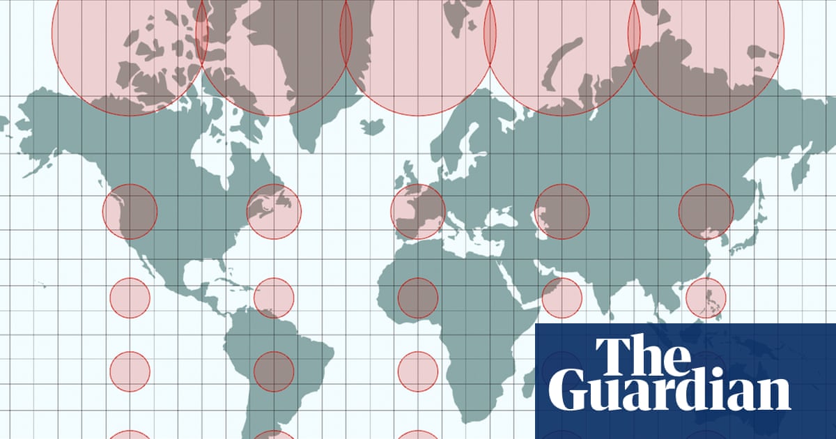
Equal Earth projection, adopted by the UN last week, provides an alternative to 16th-century Mercator display
TL;DR
- The UN adopted the Equal Earth projection, a map designed to more accurately represent continent sizes, challenging the dominant 16th-century Mercator projection.
- The Mercator projection has been criticized for making northern hemisphere nations appear larger than they are.
- The Equal Earth projection received 164 votes in favor at the UN, with the US being the only country to vote against it.
- Objections from countries like Japan and Ukraine arose from annotated versions of the map, which included geopolitical borders and shading, causing disputes over territorial representation.
- The cartographers emphasize that map projections inherently involve compromises and cannot provide a single, completely true representation of the world.